Scan
Mesh Quality
The primary function of the mesh is to provide a rough approximation of the 3D space, enabling proper placement of elements in that space.
While the mesh itself may have a low resolution, the volumes and scale represented by the mesh are highly accurate due to the precision of the LiDAR technology used to generate it.
In other words, the mesh serves as a reliable reference for positioning objects in the 3D space, even though it may not provide detailed visual representation of the environment.
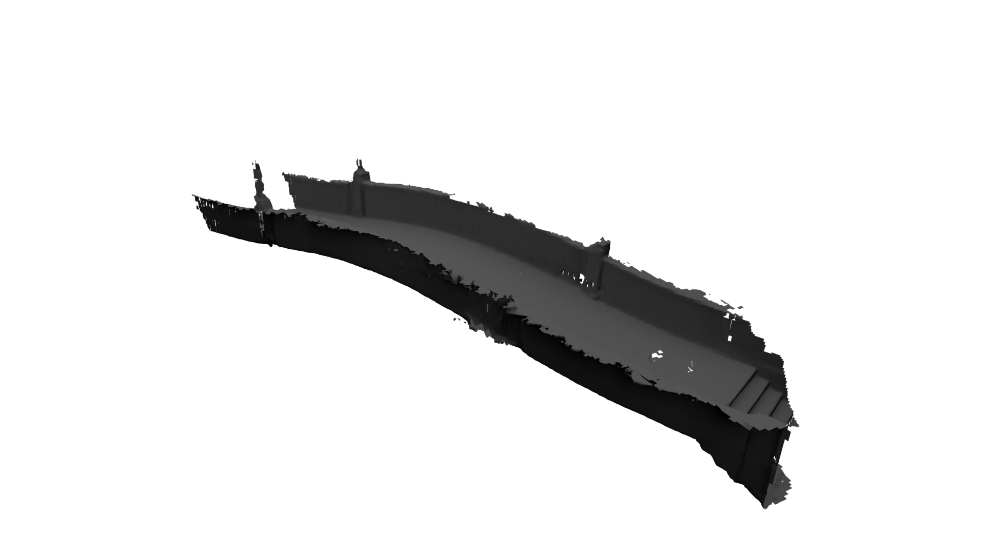
Currently, texture generation for the mesh is not supported.
Scale
The mesh is captured at a scale of 1 meter per unit, which is also the scale of the camera movement. This ensures that the mesh accurately represents the dimensions and distances within the 3D space, and the camera movement aligns with this scale.
Map
The Map feature allows you to save a location, facilitating the relocalization of your scan at a later time. For more information on this, refer to the "Relocation" section below.
Relocation
To reuse your scan:
- Position yourself in a location abundant in detail, aiding the app's ability to relocate itself later.
- Stand at a relocation point and follow the on-screen instructions.
If you face difficulties saving your scan, consider choosing a different location.
To relocate a previous scan, navigate to a shot that uses the desired scan, double tap the shot's card to go full screen, tap the "three dots" button in the top right, and select Reuse Scan.