Scan
Mesh Quality
The mesh provides a rough approximation of the 3D space so you can place elements accurately.
While the mesh itself may have low resolution, the volumes and scale it represents are highly accurate thanks to the precision of the LiDAR technology used to generate it.
In other words, the mesh is a reliable reference for positioning objects in 3D space, even if it doesn’t provide a detailed visual representation of the environment.
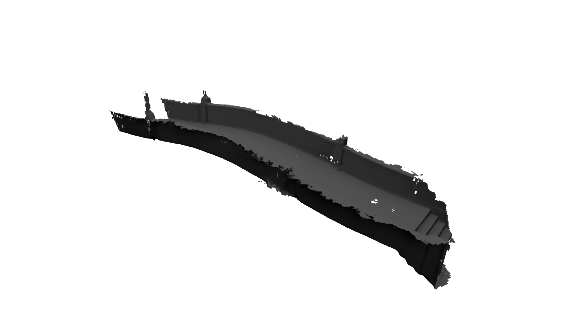
Currently, texture generation for the mesh is not supported.
Scale
The mesh is captured at a scale of 1 meter per unit, matching the scale of the camera movement. This ensures the mesh accurately represents dimensions and distances in the 3D space, with the camera movement aligned to that same scale.
Storage
A shot must be taken for the scan to be saved, standalone scanning is currently not supported.